You can do various kinds of land surveys on your property. Although each comes with its uses and purposes, two of the most popular ones are topographic surveys and boundary surveys. So, before you connect with a topographical surveyor in Edmond, let us closely look at these two types.
These surveys are mostly needed when you want to sell, buy, or create a parcel of land.
Contemplating the Boundary Surveys
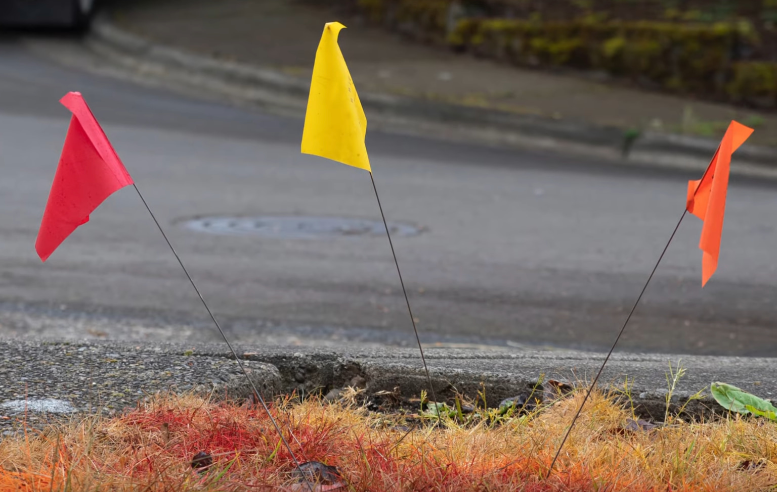
As the name suggests, a boundary survey assists in plotting out the boundary lines of your land parcel. These surveys are essential while selling or purchasing land (as you get specific information about the beginning and end of the property). That is how they assure a fair sale, helping you prevent intruding on other properties.
Besides marking the proper boundary lines, you may also acquire some additional information like:
- Encroachments on other properties that might intrude into your plot;
- Easement locations (permission for crossing or entering the property, as for the utilities);
- Restrictions (which include zoning rules).
The size of the lot is found using survey drawings and measurements. The primary purpose of boundary surveys is to fix legal disputes over landscaping projects or new house extensions. These surveys are suitable for a property’s legal relation and pinning down property lines.
Significance of Topographic Surveys
A piece of information that boundary surveys fail to provide is topographical data (the contours and elevations of the land explained in the deed). These surveys also give details about the various structures of the land (natural and artificial).
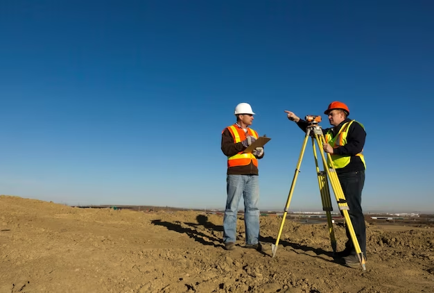
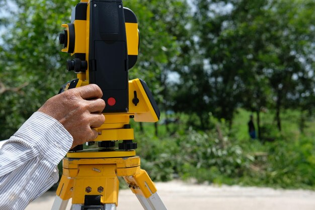
A topographical surveyor in Edmond uses EDM instruments and GPS Survey Units to measure elevations. The major drawback of a boundary survey is that you never get topographical information about the property.
Most of these surveys include features such as:
- Rivers and streams;
- Trees;
- Walkways and streets;
- Hills, slopes, valleys, and other variations in the elevation;
- Walls and fences;
- Manholes, buildings, and utility poles.
Construction engineers, contractors, and architects use these types of maps for planning and designing land improvements. In case of drainage issues, topographic surveys can be helpful in observing any rises or dips that might cause the problem.
Your Land Surveying Stop
Redhawk Land Surveying has an exceptional team of topographical land surveyors in Edmond that delivers what it promises: quality and professionalism. We have 20 years of experience in the surveying and mapping industry, giving you the best possible experience with your project. Reach out for more information!


+ There are no comments
Add yours