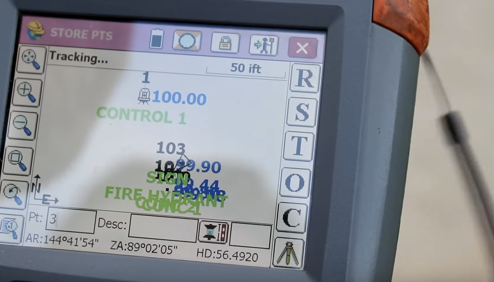
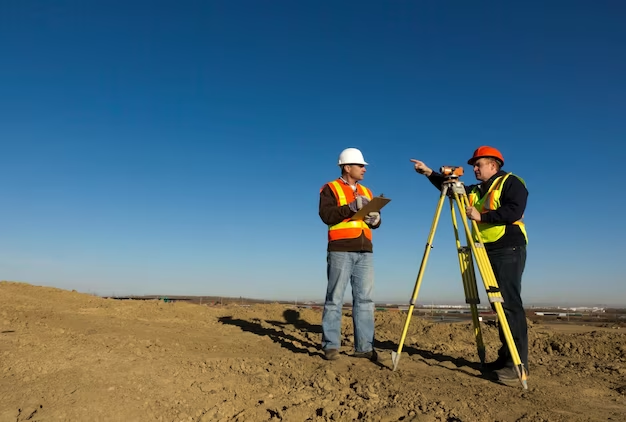
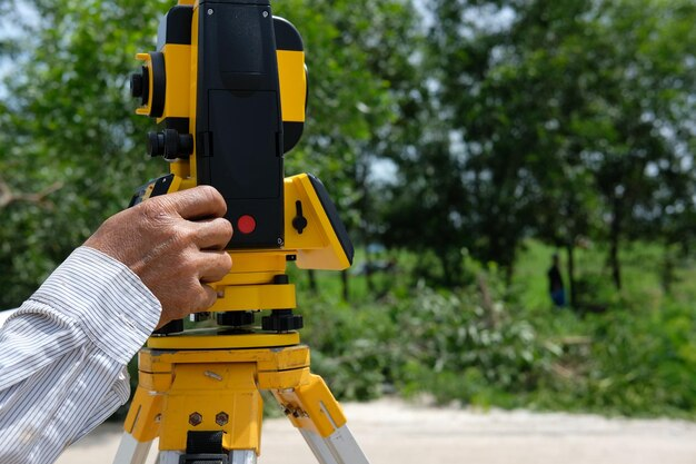
Generally, there is no set of rules on how the experts should conduct the land survey. The land surveyors basically create maps of the property and the boundaries. They can measure the specific structures and also locate the features of the property. They use various types of tools such as altimeters. The experts can measure the elevation of the property by using this tool. GPS is another important tool that is used to complete the survey. These tools are used to measure the horizontal and vertical angles between points. Keep in mind that the topographical surveyors should also have a Certificate to make a professional affidavit.
The Evidence
The experts have to study all the important documents before starting the survey. The following documents should be about contracts, maps, wills, deeds and other descriptions of the property. You can find the documents in the county records office. There are many properties in which documents are very complicated. In that case, you will get to know about the skill of the surveyors. The topographical surveyors have to go through all the documents and decide which one actually represents the legal property line.
After verifying the documents, now the experts have to search if there is any type of physical documents available on the property. You can take the existing fence marker as physical evidence of the property. The experts may face problems because the markers are not permanent like a building or tree. It is also a fact that they cannot even use the markers anymore to measure the legal boundaries if the marker is not present physically.
The Procedure
First Step
At first, the experts have to verify all the documents related to the property so that they can find out the true boundary of the property. After verifying the most relatable documents, they have to find if there is any physical evidence of the property that shows the legal boundaries.
Second Step
Avatar verifying both documents and physical evidence, now the topographical surveyors have to establish the actual boundary of the property. If the experts see no changes happen till now to the property or the evidence, then they can mark the property boundary with the new markers.
Third Phase
After measuring the boundary line, the experts have to describe the property legally. They have to include different components such as a representation of recent works, the topography of the property and corner monuments. They also mention other information including the name of the surveyor, the date of the survey.
Call for Professionals
If you want to survey your property, then contact Red Hawk Surveying in Edmond. The experts will guide you to understand the procedure in detail.




+ There are no comments
Add yours