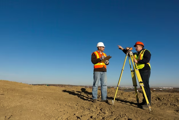
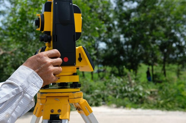
A topographic survey is the first step in the construction and home renovation process. A land survey gives vital data about a plot to homeowners and property buyers. It combines design and construction to generate a well-organized scheme.
Everyone requires a land survey at some point, from engineers to homeowners. Land surveys can assist with a variety of activities, including determining plot sizes and stopping breaching by neighboring properties. The most common causes for land surveys are listed below.
Making Long-Term Property Improvements
You will make upgrades to your home if you own one. Between 2017 and 2019, the US Department of Housing and Urban Development (HUD) says that homeowners completed over 114 million home repair projects. A land survey from certified professionals is included with each of those property improvement projects.
When putting permanent improvements on a plot of land, homeowners may require land surveying.
- Swimming pools
- Fencing
- Sheds and pool houses
- Driveways
- Utilities (like water or sewage tanks)
- Retaining walls
An expert topographical surveyor gives you a comprehensive picture of the property’s attributes. It pinpoints existing structures so that developers and engineers may review whether the renovations are feasible.
Adding or Destroying Structures
Before moving forward with a project, builders (or anyone engaged with a construction plan) must get a property survey. For developers, a land survey serves as a map. It contains the following information:
- Natural and artificial characteristics on the site
- Lines and corners of the property
A property survey also shows how the project complies with building laws and zoning regulations, making it an important aspect of the development process.
The professionals can figure out how big a piece of land is. Landowners can get specific acreage and dimension information via a survey. The most frequent type of survey, a boundary survey, also specifies lot boundaries and property corners.
Property zones classification
A land survey is used to assess whether a piece of land is zoned for residential or industrial usage. The surveyor confirms the property categorization and reports the jurisdiction of the property. A professional can then examine zoning regulations to see if they can lawfully operate a business from their estate.
Identifying Burial Places
It is possible to find a cemetery or burial ground within your boundary lines, albeit this is uncommon. The burial place can be found with the help of a skilled land surveyor. Survey data is used by technicians to estimate the size of the burial area and the number of graves on your property.
How to Get Flood Insurance?
You’ll need an elevation certificate to get flood insurance if your home is in a flood zone. A land survey is required to obtain an elevation certificate.
Professionals Can Assist You If You Require a Land Survey
You may require the services of a land surveyor for a variety of reasons. But the good news is that there are lots of qualified property surveyors available to help (nearly 48,000 to be exact).
When selecting a land surveying company, look for professionals who are knowledgeable about local regulations, have experience with your terrain, and can produce accurate results. Our professionals from Redhawk Surveying in OKC will not only assist you in gaining a better understanding of your property, but it will also be useful to developers when adding new additions and development to your estate.


+ There are no comments
Add yours