If you are buying a home or live in a high-risk flood zone, you will almost certainly be forced to get flood insurance under the National Flood Insurance Program (NFIP). You’ll need an elevation certificate to buy flood insurance because it’s required to document certain aspects of the property, as its flood zone, location, and the lowest floor’s elevation. These features assist insurance agents in determining the overall risk of property damage in the case of a flood and determining the appropriate insurance premiums.
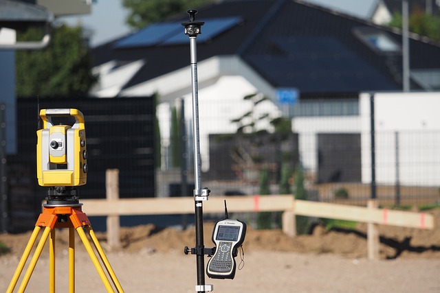
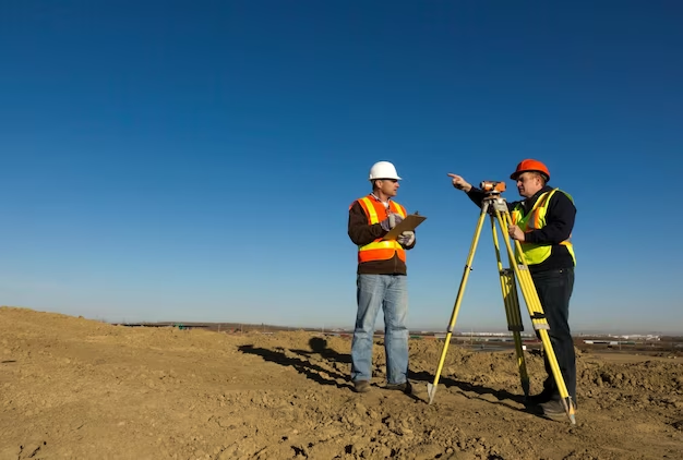
An elevation certificate provided by land surveyor is taken to determine how vulnerable your property is to flooding in the event of a flood. It gives insurance firms the data they need to figure out how much flood insurance to charge.
What Are the Benefits of Having an Elevation Certificate?
You may be able to save money on your insurance premiums against an updated elevation certificate for your property. FEMA conducts annual studies to examine flood danger information. However, the number of topics they can re-evaluate during the year is limited. This could mean that a flood plain has shifted. You may be able to prove the insurance provider that the base elevation has changed by obtaining an elevation certificate, and your premiums may be reduced as a result.
FEMA aims to update elevation maps once a year, however this does not always happen. When it does happen, though, you will have a great edge in terms of saving cash on insurance rates. Having a surveyor check to see if FEMA has changed the flood plain in your location and generate a new elevation certificate is often all it takes to lower or eliminate your insurance costs.
Do You Require a Certificate of Elevation?
If you have a federally suported mortgage on the land and FEMA has decided that your property is in a Special Flood Hazard Area, you’ll need an elevation certificate to get flood insurance. If you are buying flood insurance supported by the NFIP, you will also need an elevation certificate. The elevation certificate aids the insurance provider in determining what premiums are suitable. It’s also crucial to have your elevation certificate updated on a regular basis to see if your property is in a flood plain and the flood elevation has changed. You will save money on flood insurance if the base flood elevation shifts in your favor.
By visiting the FEMA website and examining the local maps, you can discover if your home is located inside a Special Flood Hazard Area as defined by FEMA. The lowest floor elevation relative to the Base Flood Elevation (BFE) for your area is used by the insurance provider to establish whether or not your home is at risk of flooding within a year.
Cost Savings in Flood Insurance
It’s a good idea to double-check that your elevation certificate is current, as well as that your insurance provider has a recent measurement. Flood insurance is costly, and if you don’t need it or don’t need as much coverage as you think you do, you’ll save a lot of money on your premiums. Redhawk Surveying offers cost-effective elevation surveys. Check the latest flood insurance maps and costs in your area. If you haven’t updated your flood insurance coverage in a while, it’s time to do so and see how much money you can save by getting a new elevation certificate. Call Redhawk Surveying and their land surveyor in OKC today for more information and to see if your flood elevation has changed in your support, necessitating a new certificate.


+ There are no comments
Add yours